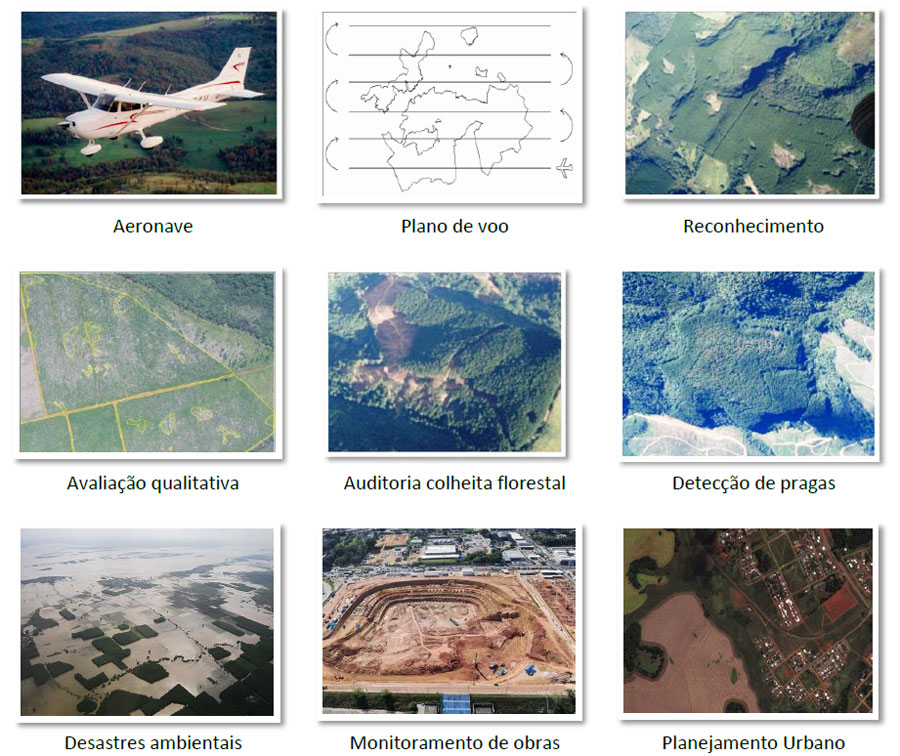
Aerial photographs are powerful tools for fast and accurate access to information for decision making. Among the applications are:
- Environmental characterization for conservation projects
- Assessment of areas for industrial projects
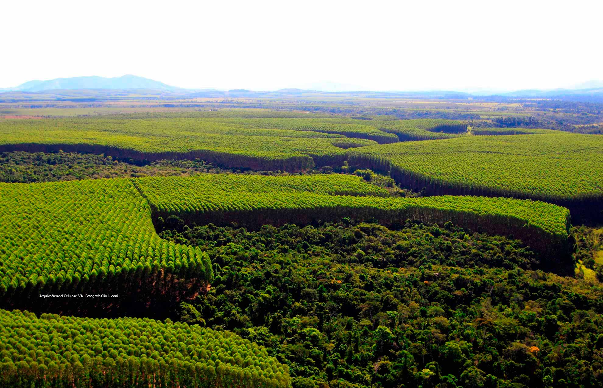
- Evaluation of forest assets and equity
- Update Registration Administrative rural and forestry
- Measurement of environmental damage caused by disasters
- Detection and monitoring of agricultural and forest pests
- Overview of works on highways, pipelines and transmission lines
- Planning of land use
It is an indispensable tool for planning in large projects.